
Highway land
Morvande NA 39 Guntha Highway Parcel
Morvande, Tal. Khed, Dist. Ratnagiri, Maharashtra
About this parcel
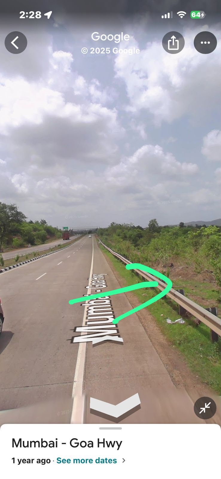
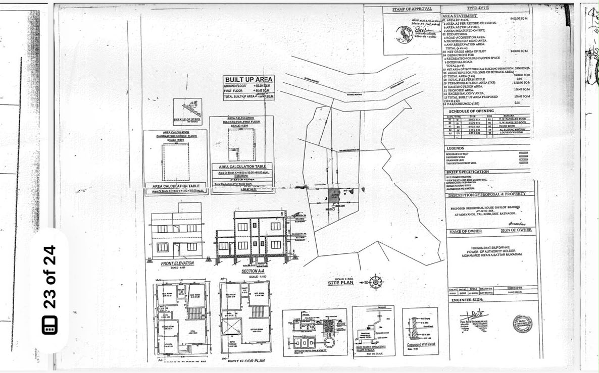
A 39 guntha non-agricultural highway parcel at Morvande in Taluka Khed, Ratnagiri district. A highway location map and a scan of the approved plan supplied by the owner are published below.
- 39 guntha parcel described by the owner as NA (non-agricultural) land.
- Highway-facing location at Morvande, Tal. Khed.
- Approved plan scan and highway location map are available on this page for review.
Maps & plans
Access & approach
- The highway location map published below shows the parcel in relation to the road network.
- A guided site visit is arranged on request so the approach can be seen first-hand.
Documents & due diligence
NA order and approved plan pack
Available for review on request
Statements provided by the owner
- The NA status and the approved plan are as represented in the documents supplied by the owner; copies are made available for independent verification.
- Buyers are encouraged to have their own advocate confirm title and approvals before any transaction.